Saturday, April 25, 2009

Winter!

As the season wraps up for the remaining climbing rangers here at Mount Rainier, we would like to thank everyone who came out to enjoy Mount Rainier this year. Whether you were climbing, skiing, camping or just day hiking into the alpine, we hope your trip was enjoyable, even if it was during one of those seemingly frequent stretches of stormy weather.


Remember the park doesn't close, just some roads and buildings do. So if you want to come out and enjoy this wonderful area over the winter please do! The road to Paradise is maintained year round and open, weather permitting, throughout the winter. The other roads in the park close as the snow comes, but for the hardy few who aren't turned off by the longer approach these more remote areas of Rainier can lead to some incredible climbing and skiing opportunities all winter long.


Stay tuned to this blog throughout the winter for updates (although less frequent) about conditions on Rainier and happenings related to climbing. Check out the route conditions pages for pertinent winter information about the mountain and high camps before you come out to climb.

Have a safe and enjoyable winter!

Into the U.P.


Crossing the Mackinac Bridge into the Upper Peninsula of Michigan.July 31, ..

The first stop was at Brimley State Park, about 15 miles west of Sault Ste. Marie, on the shores of the St. Mary's River. Several pleasant days were spent in the area. Blue skies and sunshine were abundant. Daytime temperatures in the mid-80s with lows in the 60s overnight. Very nice!


Of course I visited the Locks at Sault Ste. Marie. A very large freighter had just entered the locks from the higher Lake Superior side. It took quite a while to get it lowered so it could eventually make its way to Lake Erie and eastward. Movement was imperceptible. Only when you looked away for a few minutes then looked back at the ship could you tell it was sitting lower beneath the top of the locks. Eventually the gates of the locks opened and the ship was on its way. I overheard the Park Ranger (Sault Locks is a National Historical Park) telling someone that the ship that went through was 105 feet wide while the locks were 110 feet wide. A rather tight fit overall.


A few minutes later, a small tourist boat came through. Entering from the east side it had to be raised in order to exit on the west side and into Lake Superior.


The top of the boat is below the top of the locks.


Twelve minutes later, the little boat was on its way. It didn't take nearly as long to raise this little boat as it took to lower the large freighter.


A very nice visitor center has displays on the history of the building of the locks as well as a very informative 20-minute movie.


Monday, April 20, 2009

Hoya Vine Flower

My hoya vine is blooming again. It has a sicking sweet smell to me. Don't know what the cat thinks of it. But sure are pretty little clusters of flowers.


Saturday, April 18, 2009

Forty-Nine Palms Oasis

The signpost for the Forty-Nine Palms Oasis trail, located in the north-central part of Joshua Tree National Park, identifies the three-mile round-trip as moderately strenuous. And I would have to agree with that description!

The trail goes up one side of the mountain, circles around to the other side, going up and down (of course) then goes down into a canyon where the oasis is located.

A view from along the trail to the Forty-Nine Palms Oasis.

There may have been forty-nine palms at the Oasis at one time, but no more. These are Desert Fan Palm trees, which can grow to 75 feet in height and live for 80 to 90 years. The Cahuilla Indians (pronounced: Ka-wee-yahs) used palm thatch to make their homes wind-and- waterproof. The leaf fibers were woven into ropes. Baskets were made with the palm fibers and sandals from the palm leaf fibers.

There weren't many flowers in bloom yet at Joshua Tree, but the few that I saw, were gorgeous! Found along the trail, this Canterbury Bell was about 12 inches in height and was nestled against the rocks.

A closeup of the Canterbury Bell. Beautiful.

Heading back. You go up, then down, around, up, and down... definitely a good workout!
Thursday, April 16, 2009

Wednesday, April 15, 2009

Chicken chronicles

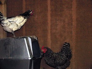
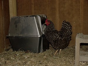
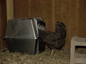
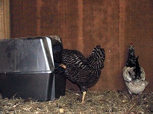
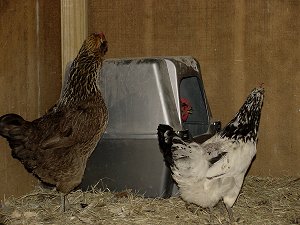
The hens have decided to shun their handmade nesting boxes. The only place to lay an egg is in the kitty litter box. It's where all the best chickens go, you know.

I've decided to publish some overly grainy (a.k.a. Enquirer-quality) photographs, since the public deserves to know the full story.


Your reporter arrived late to the scene.
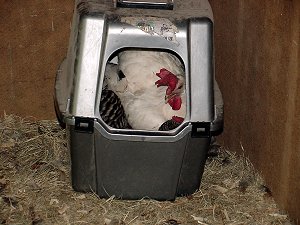
A Leghorn was already in the box, when interlopers appeared.


Ms. Lakenvelder scoops Ms. Dominique.
A recycling flash prevented blow by blow photographic evidence, but proof is visible in the tell-tale tail.


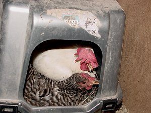
Room for one more?


Why not.
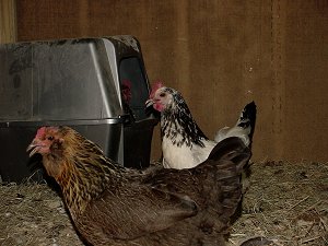
Ms. Lakenvelder's twin sister also arrives on the scene,


and is joined by Ms. Americauna.


No room at the enclosed kitty litter box.
Forced to wait in line.
Nothing to prevent a chorus of vociferous sqawking the whole time though.


The chicken version of "how many people can you cram in a phone booth"?
This week's answer: three.


You're kind of in my way.

Tuesday, April 14, 2009

Beartooth Highway

Yesterday I took a break from sorting and deleting photos from my hard drive and decided to follow U.S. Highway 212 from Red Lodge, Montana south into northern Wyoming. This route is also known as the Beartooth Scenic Byway or the Beartooth All-American Road, and, according to an acquaintance, Charles Kuralt put this highway on his list of the top 10 spectacular drives in America. It is also the highest elevation highway in the Northern Rockies. And, it definitely lives up to its reputation!

Looking northeast from Rock Creek Vista Point (elevation 9,190 feet) in the Custer National Forest, Montana. The highway is that ribbon of white way down in the valley.

Looking northwest from Rock Creek Vista Point. The speed limit was 25 mph along this stretch of winding switchbacks that traveled up the south side of the mountains.

The view to the north, a short distance from Rock Creek Vista.

From Rock Creek Vista, the road continued upward and into Wyoming where the peaks were viewed from across wide-open meadows.

Stopping at almost every overlook along the way, I was taken by surprise when I saw this view as the lake was not visible from the road. The wind was quite strong and several times I had to brace myself when a big gust came along.

Taken from near the summit (elevation 10,947 feet at Beartooth Pass) in Wyoming, looking towards the north. It was windy and cold, and the short walk to get this picture was quite exhilarating.